


Makkah Valley Map: A Historical Perspective
Rs 800.00
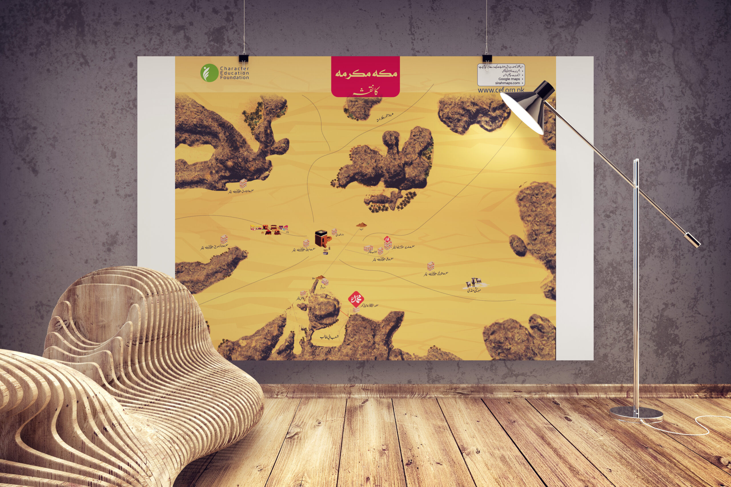
Description:
Salient Features of This Makkah Valley Map:
- Detailed Historical Representation – Showcases the topography of Makkah during the early Islamic era, including mountains, valleys, and key locations.
- Key Landmarks Highlighted – Clearly marks the Kaaba, important routes, and significant historical sites.
- Realistic Terrain Illustration – Depicts the natural landscape of Makkah to provide geographical context.
- Easy-to-Understand Visuals – Designed for students, teachers, and history enthusiasts for better comprehension.
- High-Quality Print – Ideal for classrooms, libraries, and personal study, printed with premium materials.
- Perfect for Seerah Studies – A valuable resource for understanding the geography of Makkah and its role in early Islamic history.
Learning Outcomes:
Learners will develop a deeper understanding of the geography of Makkah and its significance in Islamic history.